Hiking in Hong Kong: The Tai Tam West Catchwater

Hiking in Hong Kong: The Tai Tam West Catchwater
A stroll along the Tai Tam West Catchwater and the southern shore of the Intermediate Reservoir can offer a lovely walk that doesn’t require any hill climbing at all if starts at the top of Tai Tam Reservoir Road, just to the left of Hong Kong Parkview residential development. The first kilometre or so, in fact, is downhill though it doesn’t become particularly interesting until it reaches the Tai Tam Upper Reservoir. On nearing the bottom of the hill there is a choice. Left over the bridge and join the waterworks trail or bare right over the little aqueduct.
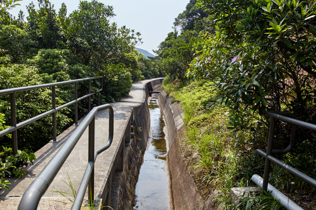
The latter will lead you along the Tai Tam West Catchwater. It is, in fact, an uphill walk but the ascent is so gradual it is hardly noticeable. If the catchwater is full the giveaway is the water rushing in the opposite direction. If it is empty a small step of just a few centimetres is visible every few metres.
The role of the catchwater is, as its name suggests, to collect rainwater flowing down the hillsides, especially where there are rocky outcrops, and to funnel it towards the reservoirs. They also provide, apart from very pleasant hiking trails, corridors for insect life where dragonflies, damselflies, and butterflies abound. In Summer golden orb weavers spin webs that increase in size as the spiders mature so that by early August they can build huge webs right across the catchwater to snare anything that moves along it. Including hikers if they are not paying attention.


Looking back along the top of the small aqueduct before heading off along the catchwater (left). The Tai Tam West Catchwater. The gradient is so gentle you barely notice it (right).

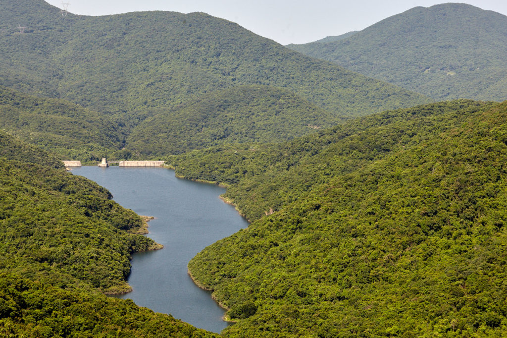
Shortly after the end of the catchwater, the trail passes above the Tai Tam Intermediate reservoir. before meeting up with the path coming down from Violet Hill
Lizards can often be seen sunning themselves on the concrete pathways and birds will also sometimes use them as an expressway.
The catchwater winds its way around the lower slopes of Violet Hill for about two and a half kilometres before coming to an abrupt end. The path continues for a few more metres before joining up with the Wilson Trail just above Tsin Shui Wan Au. Follow the steep flight of steps down and take a well-earned rest by the bridge.
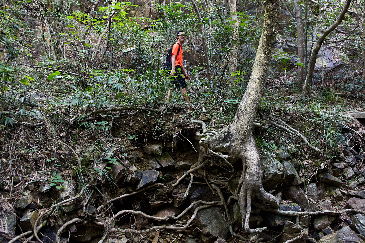
The bridge actually crosses the northern end of The Twins Catchwater. Turning left after this the catchwater soon comes to an end and a muddy trail leads towards the shore of the Tai Tam Intermediate Reservoir. The first part of the trail is badly worn and quite hard to walk on but it is short and soon gives way to a pleasing forest trail punctuated with gnarled roots (main picture), rocky outcrops and erosion from rivulets that can become raging torrents during heavy rains. To the left, the reservoir, sometimes visible through the trees, sometimes completely hidden, is a constant companion.
Related: Explore The Tai Tam Waterworks Heritage Trail
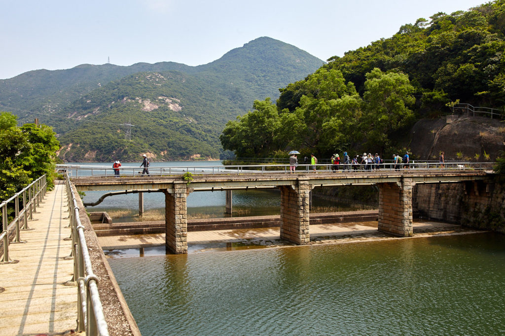
The path reaches the distinctive dam after about 1,700 metres. It is possible to walk along the top as far as the steel bridge. A flight of steps down the side leads to the stilling pool from where there is a fine view of the first of four granite-faced masonry bridges.
After a few more metres the trail rejoins Tai Tam Reservoir Road and the Waterworks Heritage Trail. The distance to Tai Tam Road is approximately 7.5 kilometres

Exploring Hong Kong’s New Territories
The New Territories represents around 85% of Hong Kong’s total land area. It is an area of coastal wetlands and mountains boasting a history of more than a thousand years. There are many ancient monuments, well-maintained hiking trails and outlying islands with old fishing communities. Yet to most visitors, it remains largely unknown.
I spent the Covid years researching, writing and photographing it. Exploring Hong Kong’s New Territories is 332 pages with around 400 colour photographs plus maps and directions. More information here